Earthquake zone all too close to proposed Muckaty nuclear dump site
 Earthquake map shows Tennant Creek hot spot, ABC News Darwin, By Clare Rawlinson, 20 Nov 12, A new earthquake hazards map released by Geoscience Australia has revealed Tennant Creek is among the locations most likely to be affected by an earthquake.The map shows a hot spot under Tennant Creek, along with Moe in Victoria and York and Kirwan in
Western Australia.
The Minister for Resources and Energy, Martin Ferguson, says the new information should help communities to plan for the possibility of earthquakes…
.. the information reinforces fears that Muckaty station, around 100km from Tennant Creek, is not a suitable location
for the Federal Government’s proposed nuclear waste site. Seismologists from Geoscience Australia developed the map according to the history of earthquakes in Australia.
They said Australia has experienced 168 earthquakes above magnitude 5.0 since 1950, and last year alone, 82 earthquakes were recorded at a magnitude 3.0 or above.
In 1988, Tennant Creek was struck by a 6.7 magnitude earthquake, causing around $2.5m damage.
No comments yet.
1 This month
7 April – WEBINAR – Australia and the Doomsday Clock – Preventing nuclear war through NoFirstUse and other policies
Online | Tuesday April 7, 4:00-5:30pm, Australian Eastern Time / 8:00-9:30am Central Europe Time
– Access the registration link
15 April – Zoom –Nuclear Power is Not the Solution
Apr 15, 2026 01:00 AM in Canberra, Melbourne, Sydney
Join the International Physicians for the Prevention of Nuclear War (IPPNW) on Tuesday, April 14th for a timely webinar exploring the risks associated with nuclear power and challenging the myth that it offers a simple, safe, carbon-free solution to the climate crisis
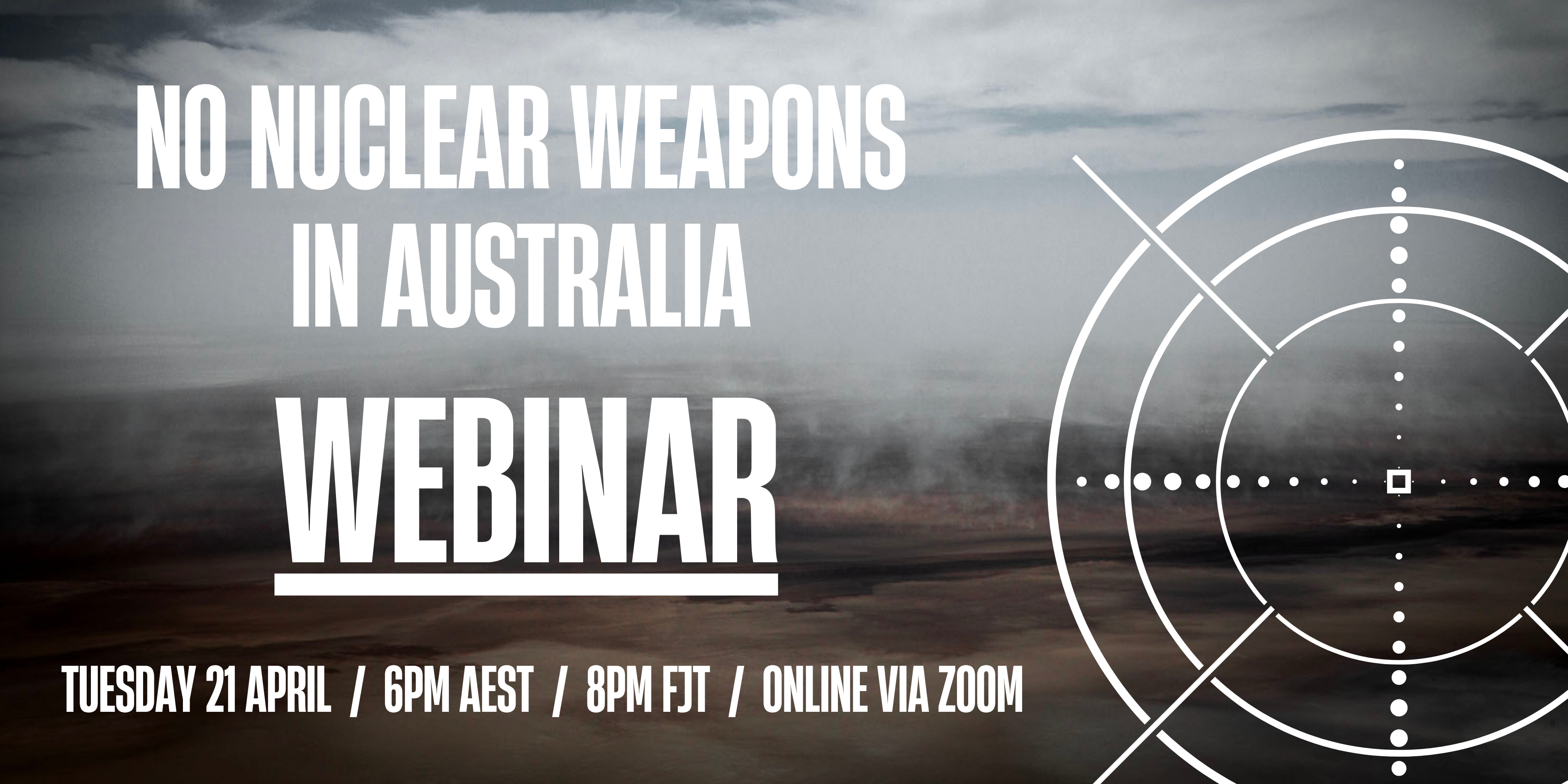
21 April Webinar: No Nuclear Weapons in Australia
Start: 2026-04-21 18:00:00 UTC Canberra, Melbourne, Sydney (GMT+10:00)
End: 2026-04-21 19:30:00 UTC Canberra, Melbourne, Sydney (GMT+10:00)
Event Type: Virtual
A virtual link will be communicated before the event.
Host Contact Info: australia@icanw.org

of the week – Australians for War Powers Reform (AWPR)
To see nuclear-related stories in greater depth and intensity

Leave a comment