NASA drones to explore climate change effects above the atmosphere
 Six ATTREX flights are scheduled to take place between mid-January and mid-March. Those will be followed by flights over Guam and Australia next year.
NASA To Use Drone For Climate Research, Information Week Government, Patience Wait, 11 Jan 13, NASA this month will begin using a drone capable of flying 12 miles above the Earth’s surface in an effort to understand how atmospheric changes affect climate…… NASA’s new project is called the Airborne Tropical Tropopause Experiment, or ATTREX. The tropopause is the atmospheric layer between the troposphere, which is the lowest portion of the atmosphere, and the stratosphere. “There are vortices in the atmosphere that spin off the North Pole over the Pacific,” said Don Sullivan, a NASA employee working on the IT portion of ATTREX. “A lot of stuff that originates in Asia winds up in North America. We don’t know if it’s original material” or chemically compounded in the atmosphere.
The Global Hawk is capable of flying at 65,000 feet and staying aloft for 30 hours, allowing for air sampling over an extended period. It has been outfitted with about a dozen scientific instruments and sensors to measure trace gases, temperature, water vapor, radiation and other cloud properties…..
Six ATTREX flights are scheduled to take place between mid-January and mid-March. Those will be followed by flights over Guam and Australia next year.
Drones are a cheaper way for NASA to pursue some aspects of its mission, compared to rocket launches. ATTREX is an example of the agency’s Venture-class projects, which are designed to be implemented rapidly and at lower costs…. http://www.informationweek.com/government/information-management/nasa-to-use-drone-for-climate-research/240146117
No comments yet.
1 This month
7 April – WEBINAR – Australia and the Doomsday Clock – Preventing nuclear war through NoFirstUse and other policies
Online | Tuesday April 7, 4:00-5:30pm, Australian Eastern Time / 8:00-9:30am Central Europe Time
– Access the registration link
15 April – Zoom –Nuclear Power is Not the Solution
Apr 15, 2026 01:00 AM in Canberra, Melbourne, Sydney
Join the International Physicians for the Prevention of Nuclear War (IPPNW) on Tuesday, April 14th for a timely webinar exploring the risks associated with nuclear power and challenging the myth that it offers a simple, safe, carbon-free solution to the climate crisis
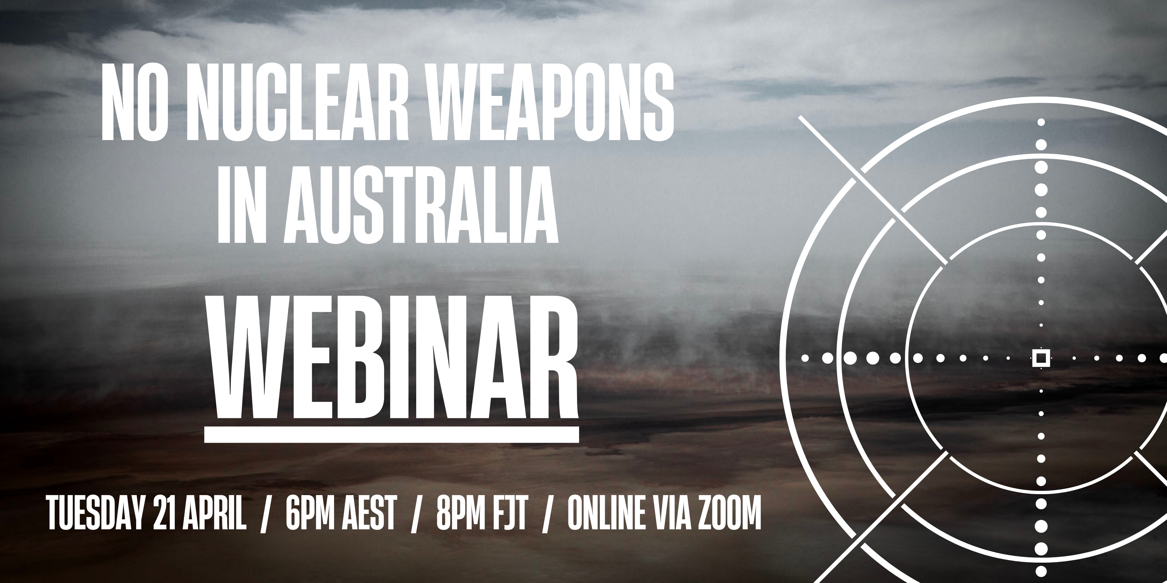
21 April Webinar: No Nuclear Weapons in Australia
Start: 2026-04-21 18:00:00 UTC Canberra, Melbourne, Sydney (GMT+10:00)
End: 2026-04-21 19:30:00 UTC Canberra, Melbourne, Sydney (GMT+10:00)
Event Type: Virtual
A virtual link will be communicated before the event.
Host Contact Info: australia@icanw.org

of the week – Australians for War Powers Reform (AWPR)
To see nuclear-related stories in greater depth and intensity

Leave a comment