Sea level rise threatens Australia’s ports, power stations
Threats looming fast for vital facilities Sydney Morning Herald MARIAN WILKINSON ENVIRONMENT EDITOR November 14, 2009
SYDNEY Airport, the nation’s busiest, sits surrounded almost entirely by waterways. Botany Bay lies on the south, Botany Wetlands to the east, Alexandra Canal to the north, and Cooks River to the west.
It is among the most critical and vulnerable pieces of infrastructure at risk from sea-level rise, the latest report on Climate Change Risks to Australia’s Coast finds. A sea-level rise of 1.1 metres, combined with a storm surge, would inundate parts of the northern runways and taxiways and damage critical safety equipment.
”The combined effects of sea-level rise, storm surge and tidal action resulting in significant inundation … could effectively close the airport,” it finds………
Protecting the nation’s infrastructure from sea-level rise over the next 90 years may appear to be a distant problem. But the report, the most scientifically based so far, indicates that the scale of the task is enormous and the risks could come quickly…………………
Big potential problems lie in the size of the coastal infrastructure. Within 200 metres of the coastline there are 120 of the nation’s ports, five power stations and substations, three water treatment plants, 170 industrial zones and 1800 bridges.
A large number of emergency services are also located within 200 metres of the coastline, including 258 police, fire and ambulance stations, which would be vital during flooding and storm events that could have life and death consequences.
Another deadly problem would be dealing with 41 waste disposal facilities. A number of dumps near the coast are likely to contain oil, asbestos, pesticides, plastic and heavy metals.
No comments yet.
1 This month
7 April – WEBINAR – Australia and the Doomsday Clock – Preventing nuclear war through NoFirstUse and other policies
Online | Tuesday April 7, 4:00-5:30pm, Australian Eastern Time / 8:00-9:30am Central Europe Time
– Access the registration link
15 April – Zoom –Nuclear Power is Not the Solution
Apr 15, 2026 01:00 AM in Canberra, Melbourne, Sydney
Join the International Physicians for the Prevention of Nuclear War (IPPNW) on Tuesday, April 14th for a timely webinar exploring the risks associated with nuclear power and challenging the myth that it offers a simple, safe, carbon-free solution to the climate crisis
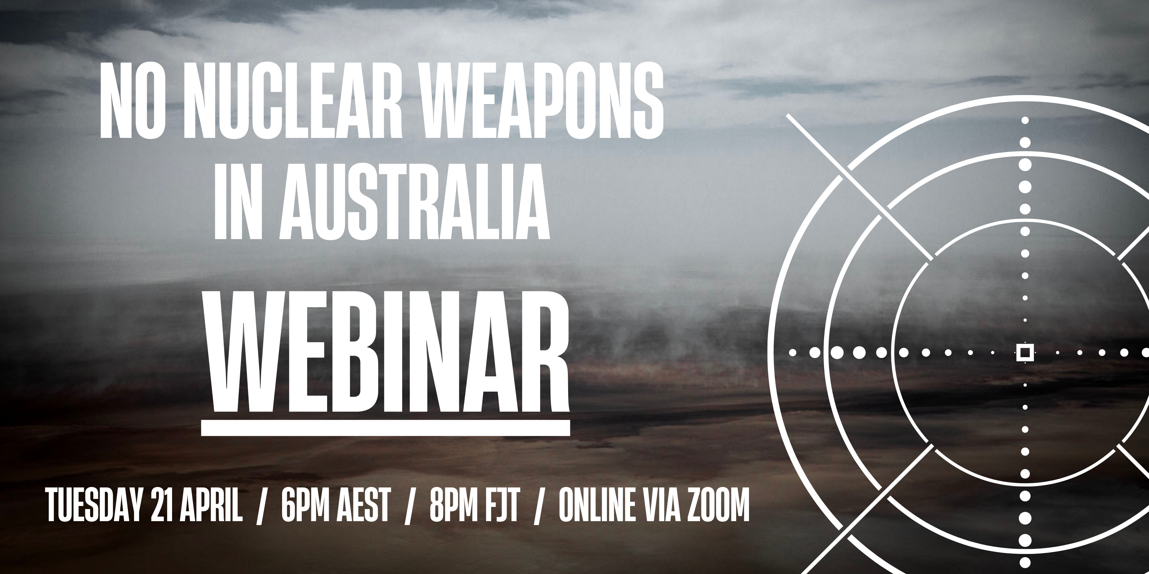
21 April Webinar: No Nuclear Weapons in Australia
Start: 2026-04-21 18:00:00 UTC Canberra, Melbourne, Sydney (GMT+10:00)
End: 2026-04-21 19:30:00 UTC Canberra, Melbourne, Sydney (GMT+10:00)
Event Type: Virtual
A virtual link will be communicated before the event.
Host Contact Info: australia@icanw.org

of the week – Australians for War Powers Reform (AWPR)
To see nuclear-related stories in greater depth and intensity

Leave a comment